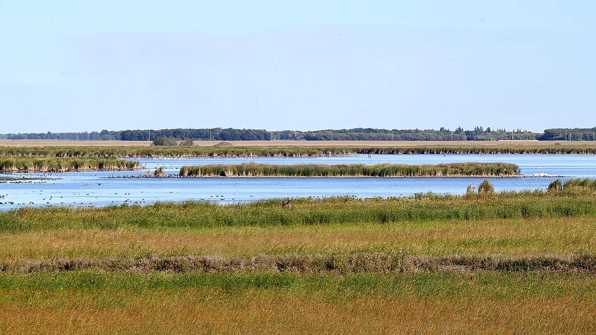
I think I found out what the proposed Tesla Valve near Cabri, Saskatchewan is. If you look on Google Earth just south of it at 50.30'33 N and 108.24'43 West - you'll find Snakehole Lake where there is a large Sodium Sulphate mining operation. The mystery lake to the north is actually a dessication pond for the sodium sulphate operations.
Here's a link listing the site and means of sodium sulphate extraction in the area.
It took a bit of digging, but I figured out what a lot of these odd shaped Google Earth images throughout Western Canada and into the Dakotas - Modeled Wetlands. wetlands/marsh's mostly disappeared by WWII due to ag practices draining too much farm land. This caused susceptibility to overland flooding, degradation of habitat for birds and toxic algal blooms.
U.S. & Canadian state and provincial governments undertook extensive wetland reclamation and modeling since then. In Canada we have a very ubiquitous NGO called Ducks Unlimited who advocate for wetland conservation.
Here's a link to the government of South Dakota's report describing the processes and hydrological modeling they use to build the odd shapes we see from Google Earth.
http://www.sddot.com/business/design/docs/drainage/Chapter 08-Wetland Creation and Restoration.pdf
Below is an image of the Oak Hammock Marsh. This is a popular place every grade school kid from the city visits at least once on a field trip. The square shaped land masses are bird islands - specifically for the migratory birds to breed in safety and in dense numbers.
50.11'93 N
97.07'51 W
A Wiki page describing how it was built:

en.wikipedia.org
View attachment 30735
I've been there and you would never know it has such an ordered geometric unity from the air.
Here's an even larger and more extensive project the province of Manitoba has undertaken in its reconstruction of the Little Saskatchewan River Delta.
53.39'15 N
100.58'25W
View attachment 30736
Ducks Unlimited has an extensive report on it here:
Rebuilding the South Reader Outlet—Ducks Unlimited Canada/
Some of the other images on the "Water People of North America" page are less explainable.
I'll write a follow up post on this thread showing some confirmed pre-contact mounds on Google Earth and offer some tips to anyone who likes searching for them. Even the large ones are very difficult to find on Google Earth.

