Chaze
Jedi
Time For A Generator? New Warning Says Half Of US At Risk Of Grid Down This Winter | ZeroHedge

https://www.nerc.com/pa/RAPA/ra/Reliability Assessments DL/NERC_WRA_2023.pdf
It looks like the potential for a really rough winter here in the States is a high probability. Hope everyone is making proper preparations and adjustments, just in case.
https://www.nerc.com/pa/RAPA/ra/Reliability Assessments DL/NERC_WRA_2023.pdf
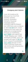
The 2023-24 Winter Reliability Assessment (WRA) report by the North American Electric Reliability Corp. warns of a heightened risk of "insufficient energy supply" during extreme cold spells. This concern extends over large swaths of the US and Canadian power grid, affecting approximately 180 million people. Those living in the highlighted regions should consider securing backup power generation sources.
Power grid operators from Texas to New England are "at risk of insufficient electricity supplies during peak winter conditions," the report said.
The report continued that the reliable operation of the Bulk Power System (BPS) and the availability of fuel for natural gas-fired generators are at risk during severe, widespread cold snaps. It said that recent winter incidents have shown that over 20% of generating capacity can be knocked off online by freezing temperatures in areas of North America that are not accustomed to such cold. When power supplies are limited, BPS operators may experience a sharp rise in demand due to the increased use of electric heating systems in colder temperatures.
According to Bloomberg, this year's WRA is "even more dire than last year's report, which said a quarter of Americans were at risk of cold-weather power emergencies. It includes for the first time some of the most densely populated areas on the East Coast, a region that relies heavily on natural gas as it transitions to renewable energy. Gas generators there widely failed during a brief but fierce winter storm last December because they broke down or couldn't get fuel."
Earlier this year, PJM Interconnection, the power grid operator in 13 states that stretch from Illinois to New Jersey with over 65 million customers, published a study that found an alarming trend of state and federal decarbonization policies across the grid that "present increasing reliability risks during the transition, due to a potential timing mismatch between resource retirements, load growth and the pace of new generation entry." America's rising grid vulnerabilities come as the National Oceanic and Atmospheric Administration recently released a new forecast that shows El Nino conditions this winter could produce wetter-than-average conditions across Mid-Alantic states.
The shift towards 'green energy,' with the phasing out of fossil fuel generation in favor of unreliable solar and wind power, contributes to the risks of a grid-down event in freezing weather. It also comes as power demand surges while more Americans than ever are charging their EVs.
But the Biden administration was supposed to bolster the nation's power grid with billions of dollars in green spending... If that was the case, there wouldn't be these warnings.
For those living in states now susceptible to elevated risks of grid-down events due to cold weather, consider a home generator. Additionally, securing a Starlink for backup internet could make life easier.
It looks like the potential for a really rough winter here in the States is a high probability. Hope everyone is making proper preparations and adjustments, just in case.


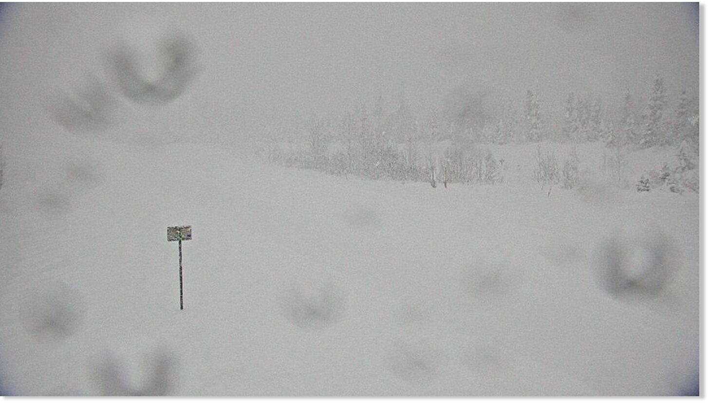

 was closed due to heavy snowfall and wind from the storm.")


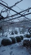
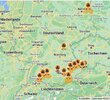
 It is freezing over a large part of France this Sunday morning. We note -7°C in Aurillac, -6°C in Rodez, -5°C in Guéret, -4°C in Albi & Angers, -3°C in Dijon & Le Mans, -2°C in Toulouse and - 1°C in La Rochelle.


 .
. ")
")
