Fresh blanket of snow forecast in half a dozen states
Published Dec 23, 2023 6:17 AM HST | Updated Dec 23, 2023 10:29 AM HST Video
A blossoming storm in the central U.S. is set to deliver some wintry weather in the coming days. For some, the snow will fall just in time for Christmas. But, AccuWeather forecasters warn that some locations may instead have the snow disrupting holiday travel in the final week of December.
The same storm that produced heavy,
flooding rain across Southern California in recent days will collide with some cold, Canadian air, to bring a fresh helping of snow to the central U.S. this weekend into early next week.
"This storm will come just in time to bring a White Christmas for some in the Rockies and Plains," AccuWeather Senior Meteorologist Tyler Roys said of the storm's timing.
While snow lovers may enjoy the picturesque landscapes come Christmas morning, the timing of the snow is not ideal for travel across the region through Christmas Day.
Snow first began in Utah, Idaho, and western Wyoming on Saturday morning, with snow showers expected to fill in across the region through the weekend. The steadier snow across Nebraska and the Dakotas is set to begin early Sunday morning and continue through Sunday night.
In total, widespread snow amounts of 1-3 inches are expected from western New Mexico and the higher terrain of central Utah to North Dakota and northwestern Minnesota through the weekend. However, snow totals of over 1 foot are possible in the mountains of Colorado.
Snow amounts in the
Denver area could vary greatly depending on the location. Northeast of the city may only see 1-2 inches, while southwest of downtown could see 6 or more inches. As such, among the airports in the region that can be impacted by the storm,
Denver International will be the most susceptible to flight delays and cancellations.
"Travel along portions of Interstate 70, as well as Interstate 25 through the Palmer Divide, could be difficult for a time this weekend," Roys warned for motorists hitting the road the weekend before Christmas.
On Christmas Day, snow will be winding down in the Rockies. However, the storm is set to strengthen in the Midwest, bringing another swath of snow from Monday into Tuesday.
"While the snow in this zone will come too late for it to be a White Christmas technically, it could certainly add to the wintry feel through midweek for any holiday activities," Roys explained.
Once again, the storm will produce widespread snow amounts of 1-3 inches, this time from northern Kansas to central Minnesota. The steadiest and heaviest snow is likely just to the west of the Interstate 29 corridor in Nebraska and South Dakota, where the AccuWeather Local StormMax™ of 18 inches is most likely.
Gusty winds, especially as the storm strengthens Christmas Day and Christmas night, may also contribute to difficult travel. In this zone, several inches of snow could fall in just a few hours; combined with the gusting winds, there could be reduced visibility and whiteout conditions. A quick burst of snow could also make roadways slippery.
In the final days of December and 2023, the Rockies may see another swipe of snow, but most of the Plains look dry and chilly going into New Year's weekend.

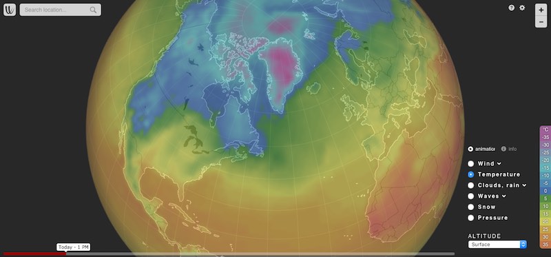
Wind map and weather forecast

www.windy.com
Are you dreaming of a
#Noël white this year? Contrary to popular belief,
#neige during these holidays is not as common as one might think. For example, in Strasbourg, there have only been 12 white Christmases since 1936, the last dating back to 2010.


