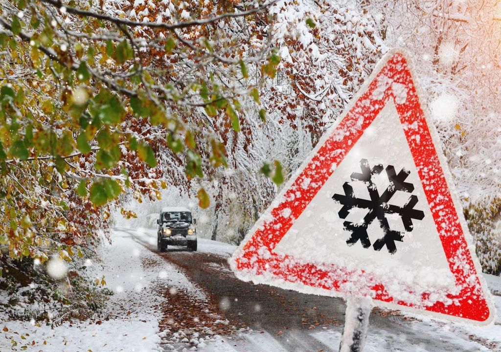
What's the weather where you are?

Today, I woke up with 4 degrees C (39.2 F) in NRW, Germany.

The fog is so thick that I cannot see a nearby hill! The moisture is 99% and is expected to rain in the afternoon - so it´s wet and cold. 🥶

These 4 degrees really bugged me, now so I went and did a quick search. It looks like that in Bonn, for the month of September:

...the mean temperature average in september in Bonn is 16°C. Note that these seasonal averages are in contrast with those observed in Bonn in the month of september with a maximum record of 34°C in 2020 and a minimum record of 4°C in 2013.

This should be double-checked on some German portal, I´ll try my best to find out more about it.

And notice now the prognosis of the temperature for tomorrow:

IMG_4358.PNG
 
Lower Austria, southern part.
We also have a real "November"-weather. Foggy, cold ( but not so cold as mentioned above). About 12-15°C. And raining from time to time. I like November but not in September! :-D And it doesnt look like the weather is going to change .. .
 
Tonight was 2 degrees in Köln-Bonn area!!!
2!
My phone showed 3, but when I was looking, it like blinked to 2 for a part of a second and then turned back to 3.

But, according to Das Wetter, temperatures in Bonn were today:
1664530151708.png

And look at the temperature at Köln-Bonn Airport, which some 15km away in a straight line:

1664531407241.png

So far, I couldn´t find any shocking news about all of this. No surprise there...

According to Wiki:

1664533154231.png

I did find this article below from today - note that the title is misleading if you read further. 😅
Also, they say only that is "too chilly" but not by how much + Nationwide, it was the rainiest September since 2001, i.e. for more than 20 years.

Month of extremes – September marked by a lot of rain and record heat

09/30/22, 10:50 am

The end of September finally brought a lot of rain to North Rhine-Westphalia after two months of almost complete drought. The month ends chilly in the region, too chilly even for this time of year, but the start of the meteorological fall was also marked by a nationwide heat record.


On September 5, the thermometer at the German Weather Service's measuring point in Kleve on the Lower Rhine climbed to 32.3 degrees. Nowhere in Germany was it warmer this September. The temperature at Cologne/Bonn Airport also rose to around 31 degrees that day.

From the middle of the month it became significantly cooler​

The September weather, which was generally too warm, lasted until about the middle of the month. From then on, according to the German Weather Service, it was too cool in NRW in relation to the daily average for the period from 1981 to 2010. However, there was no frost like elsewhere in Germany – for example in the Swabian Alb – in September. Temperatures on the Kahler Asten also remained positive throughout the month.

The summer heat at the beginning of the month led to an overall monthly average temperature of 14.1 degrees. According to the DWD, that is 0.5 degrees more than in the reference period from 1961 to 1990. In September, NRW was the second warmest federal state with Saarland. It was only warmer in September in the city state of Bremen. With 150 hours of sunshine, NRW is also above the long-term September average of 135 hours.

September was very wet​

The two-month summer drought was history right with the onset of September in the region. It rained heavily several times. At Cologne/Bonn Airport, for example, more than 10 liters of rain per square meter fell on five days in September, and even more than 15 liters on three days. It rained more than half of the days in September there.

Across NRW, the DWD measures 115 liters per square meter. That is 48 liters or more than 71 percent more than in the reference period from 1961 to 1990. In its September balance sheet, the German Weather Service made an informative comparison: In the entire summer of 2022, i.e. in three months, only 112.7 liters of rain fell in NRW per square meter. Nationwide, it was the rainiest September since 2001, i.e. for more than 20 years.

Here is one article from 25.9.; it says that The maximum values are around 10 degrees below the normal values for the time of year.

The weather is so scary cold in Germany at the end of September!


Hoch Stefan is gone, it has already gotten significantly cooler. But that's just a foretaste. September is really falling. It's getting cold in Germany. The maximum values are sometimes 10 degrees below the usual temperatures for the season. There may even be half a meter of fresh snow.

fresh snow in alps

Lots of rain and plenty of snow in the Alps: This is how the weather in Germany will be in the last week of September.


Autumn is here. Temperatures are plummeting. The night on Monday brings really low temperatures in places. The early values on Monday morning are just 3 to almost 10 or 11 degrees . There may also be ground frost in places in the low mountain ranges and in some lowland areas. Overall it's very wet today. Rain falls again and again. Later , the clouds in western Germany will loosen up for a longer period of time. But that is only for a short time.

...
The maximum values are around 10 degrees below the normal values for the time of year. The whole thing could only change a little bit for the first long weekend in October. Then slightly warmer air masses will probably flow to Germany from the south-west. However, this development is still uncertain. In addition, former hurricanes will visit us again and they'll throw the weather kitchen quite a mess again.

Anyway, the temperatures should go up again, so we´ll see...
 
Stockholm, Sweden
September 2022

So, now that we have entered October, the numbers for September 2022 in Sweden are out. It was generally colder than normal when compared with the normal climate period of 1991-2020. Here in Stockholm, the month of September felt... unstable and on the chilly side and plenty of small showers coming in, but without creating huge rain numbers. At the same time, enough sunshine, to make the outdoor plants stay pretty happy. Due to the drought and heat in August, some trees started their autumn fireworks rather early.

The beginning of September felt cold at times (especially after the 27°C in the end of August, and 32°C earlier), suddenly with reports of frost during the first September week, but only in places way outside the city center. I think here in the inner southern suburbs we got temperatures down to 3.5°C at the lowest, albeit I don't keep any private observation statistics of that.

tmp_avv2209_2209.png


MIN & MAX in Stockholm...
In my illustration of temperatures in Stockholm, this time I added the MIN temperatures reported from Stockholm-Tullinge, located outside, south of the city - because it gives you an interesting contrast to what Minima's looks like, when nights are not affected by dense urban buildings. It is my way to counteract this stupid climate scam. all of the sudden, you see much larger dips in MIN temperatures down to 0°C. Those are striking aspects are normally never included in normal statistics and illustrations...


_-2022-10-03-at-16.09.57.png


A few warm days...
Luckily, we had a few warm days (2x 21°C), and during the end of the month, there were around 3-4 days with 17°C in Stockholm which felt like moments of pleasure, like a last breath of summer. Another factor which made the month not as cold, was that during the last 10 days, the nights (in the city) where relatively mild.

Indoors ;-)
Speaking of temperatures; the sudden drop of indoor temperatures we had in our home, suddenly falling from 22°C to around 18.5 to 19°C - well, those stayed like that, for the rest of September (even with closed doors and windows). Because it came so sudden, early and unexpected - it was the was the reason why I felt so cold. After a while we got 'used' to it - but you always need an extra sweater. being only in a T-Shirt does not work - the cold get's to you after a while.

Guyz; turn on the GAS - let's punch it !

Many small showers
We had many, many (often small) showers cells coming down from the north, which due to the a rather warm Baltic Sea (15°C), provided the perfect basis to thrive. This went on for weeks. You can see the effect reflected in that the north coast above Stockholm received up to 200% of normal precipitation. Here in the southern suburbs of Stockholm - sure it rained on and off - but not in excess really. According to the statistics we made it to exactly the normal average for September. While other parts of Sweden got much less rain compared to normal average - with some places even less than 50%.

nbd_proc2209_2209.png


Unexpected visitor (Thunderstorm)
2 Oct 2022

On the subway on my way home, I was just watching half way that amazing video which @PabloAngello had published/linked to ("These Animals Don't forget their Owners after Years") filling my chest with love and tears ; those amazing expressions from dogs, cats, giraffe, elephants, lions, apes, etc... So, with that feeling, I went off the subway station.... and then suddenly.... KA-BOOM !?? Then another one, very bright and very large (covering 1/4 of the sky) lightning strike - with even louder rolling, crackling thunder. Yeah, it was indeed a t-storm, and not some major truck passing by at the highway...

This went on 6 times... and I was baffled - because thunderstorms like that in October, loud and clear, are extremely rare. We normally can see them, only occasionally over the sea, if you have a free view towards the horizon 150-200 km away over the Baltic sea you may spot faint flashes. But this one was prominent with the typical sounds like that coming off a summer thunderstorm.

The temperature was a mere 11.5°C.

2022-10-02-06-18-13.jpg
 
Stockholm, Sweden
5-6 Oct 2022

Exceptionally high night temperature

We are in an interesting weather situation, with the approach of a cold front from the west to be expected, we are residing within a warm air sector of a low pressure area. What is remarkable is, that since the previous evening (4 Oct), the temperature have been steadily rising during 5 Oct, and continued to rise into the night - now hovering around +15.0°C. (59°C). Compare that to the normal average night temperature this time of the year being only 5-7°C.

You could say, it is now as warm as an average summer night in July !!
Kind of exotic.


2022-10-06-02-25-09.jpg

2022-10-06-02-38-00.jpg
 
Since the summer i noticed some unusual weather patterns where I live in Macedonia. Mainly the nights even during the hottest summer period were cold. Then, the weather changes so quickly , that the people had a hard time to adapt to these changes. Sudded heavy rains that last very short, bu they deliver so much water that the streets, cars and basements are flooded. It happened 3-4 times this year and the last one was last week. It never ever happened in October.
Then the unusual thunder during these flood rains. You can see the strong lighting above the clouds because the sky is lightened like with the photographers flash. A strong difuse lighting probably above the clouds and no sound at all. The lightning was close, just above the city, but no saund at all.
 
Although the temperature has not dropped much where I live (Melbourne, Florida), it stays more in the 25 C range for most of the day except for midday.
A thick cirrucumulus cloud cover on one side of the sky, and again the appearance of the rainbow reflection just before sunset around some clouds near the sun, which I could no longer take a photographic record of.
306739844_493949615938730_3404891471824515089_n.jpg
 
It has been a cool spring thus far, tops of around 20C on the Mid-North Coast of NSW, Australia. Looks like we are in for another wet summer according to the Bureau of Meteorology (NSW has already had so much rain and floods over the past 18 months).

 
It has been a cool spring thus far, tops of around 20C on the Mid-North Coast of NSW, Australia. Looks like we are in for another wet summer according to the Bureau of Meteorology (NSW has already had so much rain and floods over the past 18 months).

Good for the summer crops and the livestock industry. After the 2 very dry years a before the covid insanity years. Good for Australia too economically just not on the flood plains. People have got very complacent about wet weather.
 
Damage report for the Netherlands: Extremer weer kost verzekeraars steeds meer geld

NOS News - Today, 10:36
Extremer weather costs insurers more and more money

Damage from extreme weather such as storms and floods is costing insurers more and more money. In 2021, insurers paid out 465 million euros due to damage caused by extreme weather. This reports the Dutch Association of Insurers based on its Climate Damage Monitor. This refers to damage from both households and businesses.

This puts the 2021 amount in the top three largest amounts since 2007. In recent years, the weather damage amount averaged 325 million euros.

2021 also saw the major floods in Limburg. This resulted in private damages of 180 million euros with an additional 30 million euros in business damages. High damage amounts are increasingly common, according to the association, due to the increase in extreme weather.

High peaks

In 2016, extreme weather costs were the highest, nearly 780 million euros. That was mainly due to a hailstorm that caused a lot of damage in North Brabant at the time. Partly because of this, North Brabant is among the provinces with the highest average insured damage, along with the coastal provinces and Limburg.

2022 will also be an expensive year, the industry association already knows. The weather damage amount is already around 500 million euros due to the storms at the beginning of this year, which is already higher than in 2021.

Low sockets and wooden floors

Richard Weurding, general director of the Association, calls the trend of increasing amounts worrying, "Studies by the KNMI [Royal Dutch Meteorological Institute] indicate that these kinds of damages will worsen by several hundred million on an annual basis if we do nothing," he said this morning on the NOS Radio 1 news program.

Insurers are calling for the Netherlands to become more climate resilient. New buildings should be more resistant to extreme weather. "It is important to sit down with the government to look at where we are going to build and where we are not going to build," said Weurding. In addition to surface planning, the way we build is also important for prevention, he says.

"Now we have low sockets and wooden floors. We need to think more about this. For example, how do we construct a gutter that can handle flooding better?" says a spokesperson for the industry association. By making these adjustments, there would be many gains for the government, insurers and the financial sector, the association says.

Translated with www.DeepL.com/Translator (free version)
 
Stockholm, Sweden
14 Oct 2022

It was a really lovely autumn day 🍁🍂, with sunshine ☀️ and surprisingly mild air around 14°C, while Stockholm City even brought it up to 15°C. / 59°F (the normal Ø MAX this time of the year lies around 10.3°C).

You could still feel the warmth of the sun in your face.

On my way to the post office, I took my camera with me, in order to get a few images of the colorful surrounding in leafs and trees. We are likely at the peak of it, because in a couple of weeks plus a storm, most of them will most likely be gone. On my way back, I chatted with a lovely neighbour (and her dog "Pluto") for an half hour, sitting on a bench... Ah, those are those lovely moments of life worth living for... It really is. Trivial, and yet so beautiful to experience.

The geraniums and other flower pots are still outside on our balcony. We have had near frost temperatures a couple of times, (down to -2.5°C) elsewhere outside of Stockholm, but at our house higher up, the temperature stayed at +2.6°C at the lowest, so, the flowers have not been damaged yet.

And now... it is 10°C outside, in the middle of the night, at 03.30...

2022-10-14-10-06-44.jpg 2022-10-14-10-08-58.jpg
2022-10-14-10-09-46.jpg
2022-10-14-10-04-45.jpg2022-10-14-10-06-10.jpg
 
Wow ! Very nice photographs @XPan. Thanks for sharing. :cool2:

It seems you're a little ahead of us here in the Netherlands, since around here all trees and shrubs are still completely green - the odd colored leaf notwithstanding. However, we will get our fair share later on, no doubt.
 
Stockholm, Sweden
16 Oct 2022

⛈️

Thunderstorms... again
I woke up around 15:45 - while stepping outside on the balcony to smoke a cigarette, I noticed the unusual presence of a very well developed thunderstorm cloud with anvil in the NNE. The kind of sight you normally get in May-early September in Stockholm, but isn't really that that common in October (even if i have seen them, on rare occasions)

Deep darkness
As time went by, around 17:30, it got suddenly really, really dark. The kind of darkness which felt like if it was 45 minutes after sunset(!) (Sunset in Stockholm today was 17:37) A long line of compact thunderstorms had formed over Southern Sweden early afternoon, which on their way to the east, aligned into a well organized front, e.g. moving over Stockholm.

During 15-20 minutes, it entered very sudden with darkness (which quickly increased into deep darkness by 17:43), very hefty gusts so that even large trees bent, and of course showers (albeit nothing excessive) and some lightning. All the typical hallmarks of a summer storm, except that the darkness felt unusual deep, a bit on the weird side.

I always get a bit excited, when weather events happen outside the "normal frame" of things. Especially when it comes to thunderstorms, i am a keen observer just because they perform rather poorly and seldom over Stockholm, compared to the big guns over Central and Southern Europe. Thunderstorms after August, are like a special bonus event.


Radar & Satellite charts:

2022-10-16-at-17.36.03.jpg

2022-10-16-at-15.36.41.jpg
2022-10-16-at-17.36.41.jpg

Photos:

2022-10-16-15-45-11.jpg

2022-10-16-17-14-47.jpg

2022-10-16-17-31-08.jpg
 
5 inches of rain in 30 hours last Thursday/ Friday. Now the flat ground is mud and along the rivers is flooding. Its typically a hotter dryer time of year leading up to Summer espesuly in the areas that got the last downpour. Western NSW outback and North Central Victoria. Last time it was like this was 2011.
 
Back
Top Bottom