Crazy Storm Weather and Lightning - Global

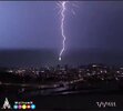
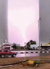
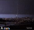
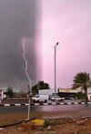
According with John Traczyk these are L shell glow mode plasma beams along with the lightning.

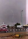
The captures I took are not in order.

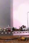
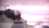
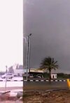
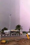
Other captures are from below videos, I noticed the wide lines just now, do not remember seeing the them before. And, not sure either if they are from the same phenomena. Or, might be something else, reflection of the camera?

Note: one of the twitter video had already been posted but did not registered from whom.


Attachments

  • Screenshot_20220811_014328.jpg
    Screenshot_20220811_014328.jpg
    40 KB · Views: 4
  • Screenshot_20220811_014341.jpg
    Screenshot_20220811_014341.jpg
    74.2 KB · Views: 4
  • Screenshot_20220811_005658.jpg
    Screenshot_20220811_005658.jpg
    116.8 KB · Views: 4
  • Screenshot_20220811_005721.jpg
    Screenshot_20220811_005721.jpg
    107.6 KB · Views: 4
  • Screenshot_20220811_012714.jpg
    Screenshot_20220811_012714.jpg
    45.4 KB · Views: 4
  • Screenshot_20220811_005753.jpg
    Screenshot_20220811_005753.jpg
    111.4 KB · Views: 5
  • Screenshot_20220811_012738.jpg
    Screenshot_20220811_012738.jpg
    40.7 KB · Views: 5
  • Screenshot_20220811_013002.jpg
    Screenshot_20220811_013002.jpg
    47.5 KB · Views: 5
  • Screenshot_20220811_014303.jpg
    Screenshot_20220811_014303.jpg
    67.8 KB · Views: 4
  • Screenshot_20220811_014316.jpg
    Screenshot_20220811_014316.jpg
    56.7 KB · Views: 4
  • Screenshot_20220811_005823.jpg
    Screenshot_20220811_005823.jpg
    120.8 KB · Views: 3
  • Screenshot_20220811_005850.jpg
    Screenshot_20220811_005850.jpg
    106 KB · Views: 3
  • Screenshot_20220811_005628.jpg
    Screenshot_20220811_005628.jpg
    116.7 KB · Views: 4
Other captures are from below videos, I noticed the wide lines just now, do not remember seeing the them before. And, not sure either if they are from the same phenomena. Or, might be something else, reflection of the camera?

Yes mabar, those are from the camera.

Actually the sensor readout - which in CMOS sensors are not fast enough to "dump" all pixels at once - but instead do it like old TV's, line by line. So, when a lightning strikes with their sudden onset of bright light occurs, there will be a delay between before the readout from the sensor has been written to the card - and you get those stripes. Of course at the same time also relates to the shutter speed of the camera. the shorter the shutter speed, the more you get those stripes. It would reqire slow sutter speeds like ¼ sec to almost eliminate those stripes in video frames.

CCD sensors on the other hand (which were used in older cameras), do not have this phenomena, because the sensor reads out image by image, with ALL the pixels at once. Therefore no stripes occur.

for CMOS sensors, it would require something called "Global shutter" (a readout so lightning fast, e.g. faster than the total amount of pixels in the sensor chip) in order to eliminate the stripes.
 
Isola di Stromboli, Aeolian Islands, Sicily - Italy
12 Aug 2022


Stromboli: Mud flows and landslides cause natural disaster
by Marc Szeglat


Heavy rain triggered mudslides on Stromboli - town sinks into muck

Not a good year for the Italian volcanic island of Stromboli, as the 2nd natural disaster of the year occurred yesterday. It is not due to the volcano, but to the stupidity of the people. Yesterday, heavy rain fell on the Lipari archipelago. The rainfall lasted for hours and triggered mudslides and landslides on Stromboli, some of which could be described as lahars. The reason for this can be traced back to the maquis fire of 25 May this year, because the largely vegetation-free soil could not absorb the masses of water, so that it turned into mud and rushed down to the valley.

The reason for the forest fire is believed to be arson by a film crew. A fire was set especially to be extinguished in the film by the civil defence, whose employees were mimed by actors. Unfortunately, a strong scirocco blew that day, so that the fire got out of control and burnt down large areas of maquis that had been greening the volcanic slopes until then. As a result, the roads were also flooded by many charred plant remains.

The storm yesterday, along with the secondary effects mentioned above, was so bad that the island's inhabitants did not recognise their town this morning: The main street of Stromboli town is buried under a layer of mud and debris at least 1 m thick. Boats found themselves on the waterfront. A complete overview is still missing, but the damage to infrastructure is described as enormous. No one is believed to have been injured, but 50 people voluntarily left their damaged homes and were evacuated to community shelters. While roads, yards and buildings may be cleared of mud and debris in time, the ecological damage could change the face of the island in the long term. Tender green had just become visible again on the burnt areas, now erosion is likely to have hit full force and the plants have eroded the soil from under their roots.

The violent storms can also be written on the anthropogenic beer mat, because it is clear that the frequency and severity of storms have increased significantly. In the almost 35 years I have kept an eye on Stromboli, nothing like this has happened so far. Sad to have to watch the creeping demise of a beloved paradise. Besides the destruction of nature, for me this also includes the ever-expanding restrictions on climbing the volcano.

stromboli02.jpg Bild_2022-08-12_160524321.jpg


END OF ARTICLE

Comment • Enormous thunderstorm clusters appeared over the Aeolian Islands, e.g. Isola di Stromboli. The Sicilian town of Messina in the Strait of Sicily, registered, i believe around 53 mm rain within a short time (A lot but nothing unusual). Also a water spout was sighted near or at the coast of Stromboli.

Huge thunderstorms are common in the area this time of the year and onwards (end of August into September and October), which is not climate change but typical for the area of Sicily every single year, as the rain season is now starting, usually with sudden torrential rain events, water spouts and frequent lightning. First signs of intrusions, with slightly cooler air in the higher atmosphere, give strong impulses large thunderstorms in the area when entering autumn, due to the very warm waters, which often hold 30°C.

The stupidity of the people isn't because of people living on Stromboli, doing the "climate change thing", but because of an Italian state film crew didn't have the guts to admit of having torched half of the island's vegetation when they started a fire (May 2022) for a film scene... causing the erosion of the soil at the first best rain event. That is the disaster; the cowardliness.


Flashback • Scenery from 30 May 2022 after the fire
_-2022-08-13-at-21.45.02.jpg
 
Isola di Stromboli, Aeolian Islands, Sicily - Italy
update on the mudflow disaster from 12 aug 2022

I stumbled across much better images which illustrated how bad the mudflow disaster actually hit the island. Yet, it is mind boggling, given that the amount of rain wasn't really anything that would go into the history books. While I don't have any direct data from Stromboli, but no station reported more than the 53 mm measured in Messina, located at the strait of Sicily.

In theory it could be possible, that there was a special rain event over Stromboli, just wasn't registered by any grid ? Given how explosive the T-storms appeared over the island (not uncommon at all Aug-Oct), I would not rule it out.


24h_rainfalls_in-Europe_12Aug2022.jpg
Satellitechart_12Aug2022.jpg

I remember what happened a year ago here in the southern suburbs in Stockholm - only 1 km away from where I live - a whopping 83 mm rain fell within 20 minutes (!), leading do a local disaster (in Högdalen), disabling the subway rail for more than 7 months due to the damages and repairs that followed. While at my home i guessed "only" 25-30 mm came down.

Hence my thought; Huge T-storm clusters can show extreme local variations. That combined with the disaster when 50% of Stromboli's vegetation were destroyed in the fires of May 2022... Not much root system left then...

stromboli1.jpg

This is the main street going though the village, not that far away from the house of "Ingrid Bergman" (white-red), and the special hotel of "La Locanda del Barbablu" (orange-pinkish to the right). My photo below shows the scenery from 2006 on the same street, albeit a bit taken closer (to the church and plaza) than the image above. Unless it is the other way around ?! I don't remember... I believe the Tobacco stores are located further away from the Church along this street.

2006-07-26-14-45-06.jpg
* Image just for comparison *


The images blow really gives you a hint to the scale and severity of the mudflows

stromboli2.jpg

stromboli3.jpg

stromboli4.jpg

stromboli5.jpg

stromboli6.jpg

stromboli7.jpg

stromboli8.jpg
 
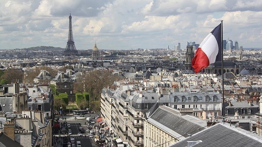
PARIS

The forecast Tuesday was for a “risk of violent phenomena” with heavy rains and storms after a recent heatwave, according to the official Meteo France weather service.

Five departments in the southwest region --Aude, Aveyron, Gard, Herault and Tarn -- are on an orange alert for the risk of thunderstorms. Stormy showers are also expected in Paris and the Ile de France region, Hauts de France, Occitanie, Auvergne-Rhone-Alpes and by night in Provences-Alpes-Cote-d'Azur.

“A stormy degradation is predicted in the south-west region … accompanied by strong electrical activity, heavy hail storms, and heavy accumulations of precipitation,” according to the forecast.


Strong storm in Paris #France 🇫🇷.
Like this the Balard station in #Paris.

Images of the strong #temporary #storm today August 16 in #Paris #France 🇫🇷.
 
I live 11 km from Paris as the crow flies, we have had thunder (loud ones), lightning (beautiful ones) and rain, but nothing like the water Paris has received. Seeing videos, there was much, much more wind there as well compared to what I've seen here. It is as if the weather had been specifically unleashed on the French capital.
 
I noticed that stories of the “California Megastorm” were resurfacing on MSM channels a few days ago:


Even today, as California struggles with severe drought, global warming has doubled the likelihood that weather conditions will unleash a deluge as devastating as the Great Flood of 1862, according to a UCLA study released Friday.

In that inundation 160 years ago, 30 consecutive days of rain triggered monster flooding that roared across much of the state and changed the course of the Los Angeles River, relocating its mouth from Venice to Long Beach.
With a lot of flooding taking place elsewhere lately, seems to be some early priming (or bets being placed 🤔) before the wet season in CA. FWIW, in 2018 my area had the worst flooding since 1985. I guess this could be the year we match 1862 - another wait and see…
 
I live 11 km from Paris as the crow flies, we have had thunder (loud ones), lightning (beautiful ones) and rain, but nothing like the water Paris has received. Seeing videos, there was much, much more wind there as well compared to what I've seen here. It is as if the weather had been specifically unleashed on the French capital.

Violent #storms continue in France 🇫🇷.
Last night they hit the #Marseille region and later the Var on Wednesday morning.
Images from #Toulon where #torrential #rain also fell.
 
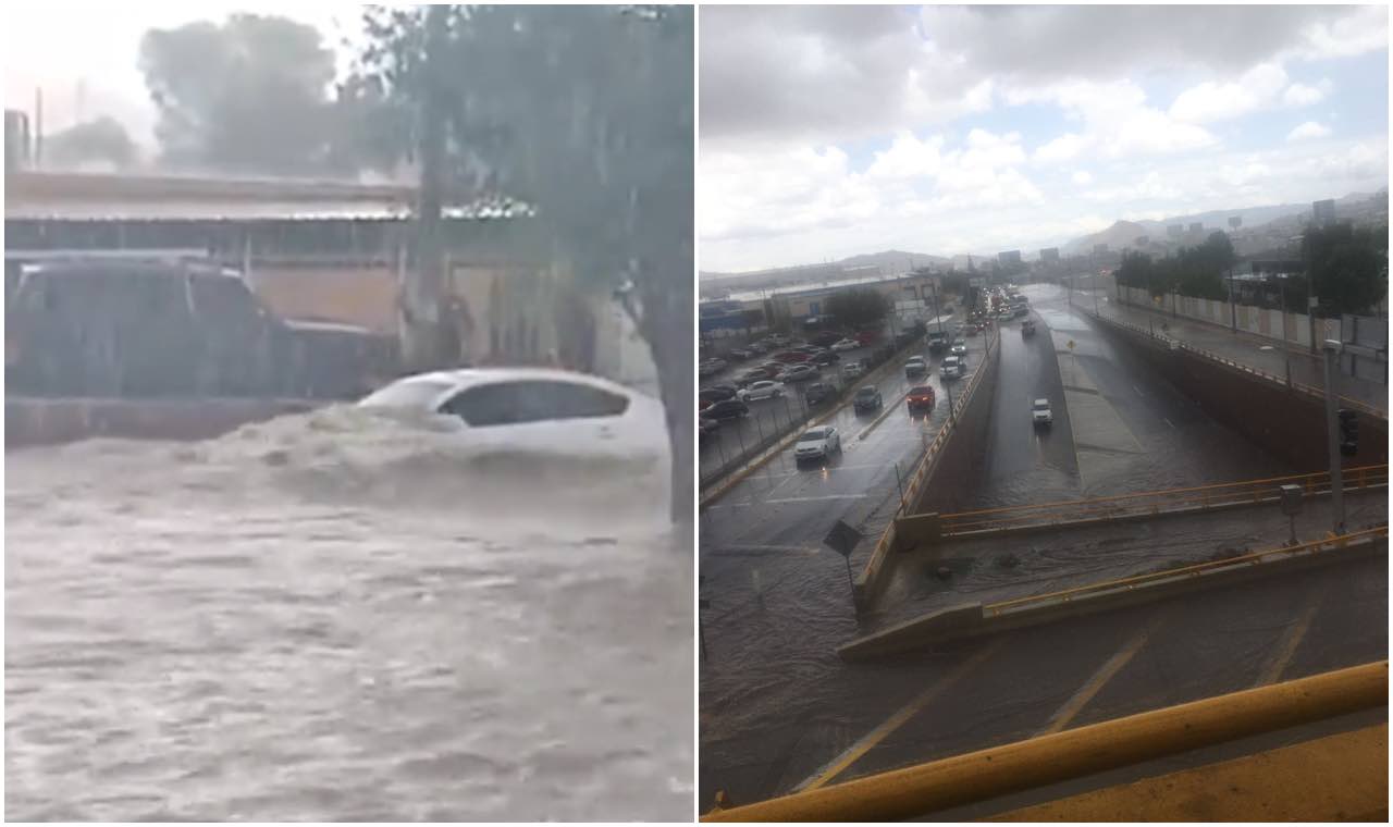
Torrential rains leave flooding in several parts of Chihuahua in northern Mexico

The Authorities have called for people not to leave their homes or to avoid certain areas on Wednesday afternoon, August 17.

The heavy rainfall that hit the state capital has already caused several floods and is expected to continue in the coming hours.

The State Coordination of Civil Protection Chihuahua reported that the rain forecast remains between 15 and 18 hours, so it called on the population to "maintain preventive measures and avoid leaving home, if not necessary".

 
Chetumal, Quintana Roo, Southeast of Mexico with severe flooding due to tropical wave 23

The rainfall, which began during the night of Wednesday and continued all morning today (Aug 18) left trees fallen, roads flooded and impassable, cars stranded and houses with water inside were part of the damages.

At some points several cars were almost covered by the water, while on the "Bahía de Chetumal" boulevard the sea water overflowed and covered the entire street. The water covered more than half of the body of people walking along the street.

 
France
A particularly violent storm system hit the French island of #Corsica with powerful wind gusts of 131 km/h at #Ajaccio airport and 225 km/h at #Marignana!
Unfortunately 3 fatalities are reported
© Stefano Pinelli
Via @MeteoExpress

Update:
A violent #storm of heavy #rain and hurricane-force wind gusts hit #Corsica 🇫🇷 #Italy 🇮🇹 and #Austria 🇦 today leaving at least 12 dead.
Stunning images of a Ferris wheel in #Florence 🇮.
Credits 🎥 Evandro Maritli

Spain
Severe #hailstorm on the Spanish island of #Menorca in the Mediterranean, huge #hail the size of golf balls in Binidalí.
Via @Xaviponscladera & @rbmeteonews
Authored by Maite Vilamalla

Mexico
Heavy #rain, streams and rivers swollen. Proteccion Civil de #Sonora 🇲🇽 requests not to enter swollen rivers, streams and torrents.
Vehicle swept away by the Sonora River at the height of Banámichi. the driver fortunately was rescued.
Via @cepcsonora
 

Trending content

Back
Top Bottom