I follow a page on facebook by this guy, Mark C. Honig.
This morning he posted about his theories regarding the quakes in the Pacific, and I’m copying the info here.
“
Update 9/9/25 11am (PST): Hawaii just got struck with it's largest quake in 30 days, an M 3.6. This starts our countdown until it hits California (Sept 12-14).
https://earthquake.usgs.gov/earthquakes/eventpage/hv74771322/executive#general
Update 9/9/25 9am (PST): Hours after posting my forecast an M 5.8 struck offshore on the southern end of the Juan de Fuca. It has so far been accompanied by M 4.4, M 2.7, M 3.3, M 4.9, & M 3.1. This is energy from the far northern Canadian M 4.0 quake I referenced below in my original forecast. This changes my forecast range from M 5.0 to M 6.0 to M 5.5 to M 6.5, and this now becomes a much more serous situation. Now we have M 5.5 energy coming across the Pacific and M 5.8 energy coming from the north. If they both combine onshore, then a larger and perhaps two or three quakes will occur. The geysers have been in normal range and if they drop to under 10 quakes in a 24hr window, then we will need to watch for an M 6.0+ offshore. If the Pacific energy arrives late (after Sept 16), then the two waves will not merge and we could see several M 5.0 to M 6.0 quakes onshore. I added a new photo to the bottom showing the M 5.8 offshore event.
Original forecast:
We have an incoming wave from across the Pacific that could hit California from September 11 to September 22, 2025, and will be bringing with it a quake/s with a magnitude from M 5.0 to M 6.0!
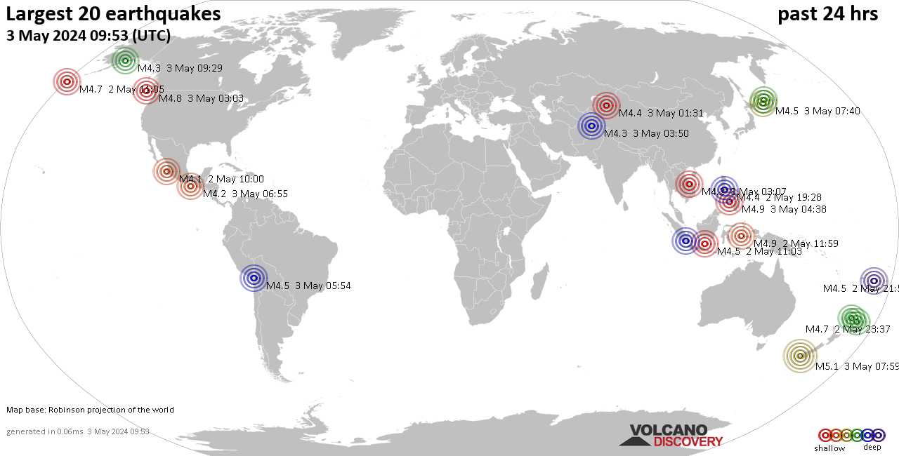
This hypothesis of mine that shows deep quakes that strike in the ocean and offshore on the Mariana Ridge can send a seismic wave across the Pacific and strike California.
I have successfully seen this occur three times, and likely this will be the fourth time. Also Hawaii will occasionally be perturbed and exhibit the largest quake in a two week window, or exhibit an increase in a lava plum, or a quake far from the big Island of Hawaii will occur. This perturbance is usually a good mid-time point of the wave and will provide me the ability to set the first day the seismic energy could strike California.
Also, this seismic wave will often strike the southern end of the Juan de Fuca Plate along the Mendocino Fracture Zone aka the Mendocino Trench first, and occasionally it will continue onshore and strike Northern California. Often then seismic wave strikes and finishes off shore at the southern end of the Juan de Fuca.
What concerns me is we have a second seismic wave that has already struck offshore Canada and onshore in Oregon USA and Utah USA with M 4.0 energy. Should these two waves combine, we could be looking at a larger quake then M 6.0. My problem is I have not seen such an event before, so it is guess work on my part as to the maximum magnitude strength that it could achieve AND where this could quake/s could occur.
On the map from Google Earth, I have plotted all the strongest quakes in the last ten days. Then I connected them using the circle tool from Google Earth. At the center of this circle, all with in 35 miles of each other, is a pit mine, a power substation, and the scary Mount Rainier Volcano. The chances that these quakes align together and have a center point with three significant locations, leaves me wondering...
Now we sit, watch, and wait, for the incoming seismic wave. Based on my methodology, I must stay with the maximum quake magnitude of M 6.0. Please remember, all my posts and pics and data are free to use and re-post.
This is the quake that started this new seismic wave. Note that I take the magnitude and add strength to it using depth of the quake. I add M 0.1 for every 50klm depth. Thus 393Klm depth adds M 0.8 to M 4.7 and we arrive at M 5.5 then we subtract M 0.5 and add M 0.5 and we arrive at a range of M 5.0 to M 6.0: [
https://earthquake.usgs.gov/earthqu...uakes/eventpage/us7000qtr4/executive#general)
Below are the quakes I have listed on the Google Earth map:
[
https://earthquake.usgs.gov/earthqu...uakes/eventpage/us7000qukk/executive#general)
[
https://earthquake.usgs.gov/earthqu...uakes/eventpage/us7000qup7/executive#general)
[
https://earthquake.usgs.gov/earthqu...uakes/eventpage/nn00903673/executive#general)
[
https://earthquake.usgs.gov/earthqu...uakes/eventpage/nc75232127/executive#general)
And this Google Earth location is the Pit Mine: 47°19'6.57"N 121°52'35.81"W
This is the Power Substation location: 47°20'6.79"N 121°56'1.77"W
And this is the location of Mount Rainier Volcano: 47°20'6.79"N 121°56'1.77"W


