Fires around the world

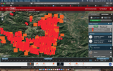
Here you can see the extent of the fires raging across our earth.
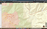
The screenshot could be misleading, because all the red dots become very tiny eareas when zoomed in, I tried it for Germany. I also tried unsuccessfully to find information about current wildfires in Germany, I don't know if there are any at the moment, and most of the red spots I zoomed in are located at densely populated or industrial areas, so I'm sceptical to what extend this map actually shows wildfires at all.
 
a story about the power of prayer ??


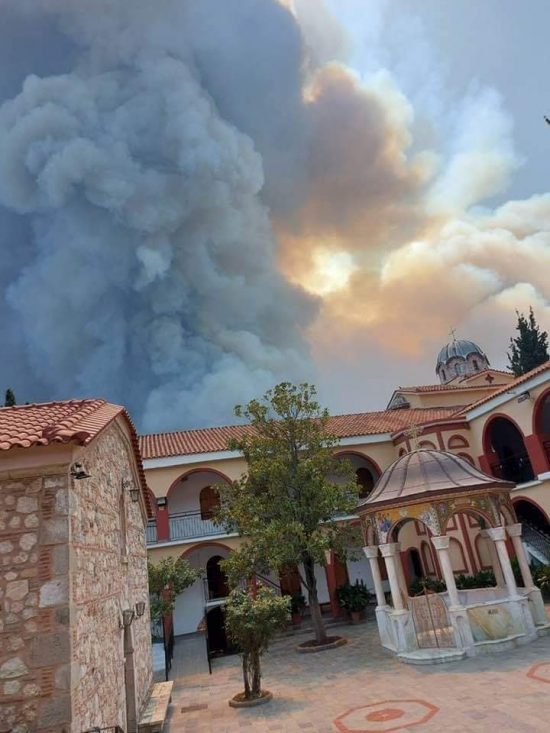
"Miracle in Greece! St. David’s Monastery in Evia, untouched by flames larger than 40 meters. The monks remained to put out the fire with the firefighters.

The monastery of St. David on Evia is a place

of numerous healings and spiritual refuge for many people seeking healing and help. This monastery remained intact, after the fire that broke out in the pine forest that surrounds the place, turned everything it encountered into ashes into ashes.

Firefighters say that when the fire reached a meter from the Monastery buildings, it stopped abruptly, “like an all-powerful hand, and returned, like a wounded animal, back to the forest.”


The screenshot could be misleading, because all the red dots become very tiny eareas when zoomed in, I tried it for Germany. I also tried unsuccessfully to find information about current wildfires in Germany, I don't know if there are any at the moment, and most of the red spots I zoomed in are located at densely populated or industrial areas, so I'm sceptical to what extend this map actually shows wildfires at all.

I believe the satellite(s) are mapping heat signatures. (of any source)

When you click on various red dots, sometimes there is a number indicating the probability of such signature. So yes, I am sure there are a lot of wrong heat signatures, which are not forest fires. I am sure there are plenty of other heat sources which are not associated with forest fires.

A sure example are volcanic heat signatures: Etna, Stromboli and Iceland show heat signatures at the center of their activity, and/or at the top of the mountains. So, no forest fires there.
 
The screenshot could be misleading, because all the red dots become very tiny eareas when zoomed in, I tried it for Germany. I also tried unsuccessfully to find information about current wildfires in Germany, I don't know if there are any at the moment, and most of the red spots I zoomed in are located at densely populated or industrial areas, so I'm sceptical to what extend this map actually shows wildfires at all.

This is the link for Germany
If you click on each red dot you get more information eg.

LATITUDELONGITUDEBRIGHTNESSSCANTRACKACQUIRE_TIMECONFIDENCEVERSIONBRIGHTNESS2FRPDAYNIGHT
48.6541610.16372295.340.130.362021-08-11 04:16:00n2.0NRT282.310.67N
 
#McFarlandFire 8/15/21 EVACUATION ORDER: Immediate threat to life and property, leave now for the area south of Highway 36 for all occupied structures from Tedoc Rd east to Ball Rd, to include Olympia Dr, Fox St, Sunny Brook Ln, and Valencia Dr.


1629097367427.png

BC Wildfire Service
Danger Class Report
A detailed danger class report provides estimated and forecast fire danger rating values for specific weather stations.
The danger class report is updated every day based on weather station data collected from around the province. To find out what the fire danger rating is near you, please select a region from the list below or view all regions.
Cariboo Fire Centre
Coastal Fire Centre
Kamloops Fire Centre
Northwest Fire Centre
Prince George Fire Centre
Southeast Fire Centre
Please note that the data within the danger class report is only relevant for the geographic location of the weather station. Persons carrying out industrial activities who want to apply the danger class information from this website must determine that the weather station location is representative of their operational area.

Maps — Dixie Fire (CA)
PIO Map East Zone August 15 (Below)
NOTE: Maps represent approximate information.


Attachments

Evacuation ordered as another fire breaks out near Athens, as Greece suffers more devastating wildfires & arson suspected
The dangerous blaze could’ve been caused by arsonists, the municipality’s deputy head, Thanasis Markodimitris, told broadcaster Skai. According to the official, early on Monday cleaning workers, who were on a mountain spotted a suspicious object being tossed out of the window of a white Peugeot 306 vehicle.
What better method for population reduction than to take away arable lands, farmland, forests thus the very breathable air from people and usher everybody into Vaxxed Machine Brain Cities? Where the Schwab Cabal can graciously give you your independent thoughts back - only once per week - and only if you can Pay Rent on your [now leased] independent thoughts?

I didn't understand what Dr. Sherri Tenpenny meant by:
- "There are worse things than death."
Now, after reading The Russian Billionaire, I know: nanoVaxx 5G linking people up into a Central Machine Brain [Iron Satan] and people's souls are forever trapped in a Zombie Body and the soul cannot get away, because there is no Death allowed. Mayne thats why the Lizzies love to re-animate..
 
Update from our smoke-filled space: I had originally written this off as a "forest cleanse" which is what the usfs seems to be in favor of these days.

For those that aren't familiar: The Forest Service does not put out fires. Nor do they necessarily protect structures. Not their job (they work for us?). "Containment" is their focus. Not even sure what that means anymore. CalFire: they put it out. Ah...but this is not the latter's fire. Unfortunate.

That has become all too clear recently. Thought they had the fire under "control", the winds then picked up....As we all knew they would. (happens every evening)

Luckily my family and many friends have all evacuated. This is not good air to be breathing, especially for children.

Electricity is now a thing of the past. Generators from here on out. Which is fine....we are pretty prepared.

Last night I captured some odd screenshots. Maybe I was just tired but it certainly "gave a face" to this mayhem.

As an aside: I do wonder if this is somewhat by design. They are flying DC-10 tankers over smaller fires in the middle-of-nowhere and yet all we hear is an Air Force obversational aircraft. "Too smokey to fly" some say. Hmmm......

Anyway, from last night: (anyone else see some odd features?) The fire has become quite a bit larger in the last 8 hours. It's getting pretty close....again.
 

Attachments

  • Screen Shot 2021-08-15 at 11.46.04 PM.png
    Screen Shot 2021-08-15 at 11.46.04 PM.png
    1.4 MB · Views: 7
  • Screen Shot 2021-08-16 at 8.41.05 AM.png
    Screen Shot 2021-08-16 at 8.41.05 AM.png
    1.6 MB · Views: 7
Last edited:
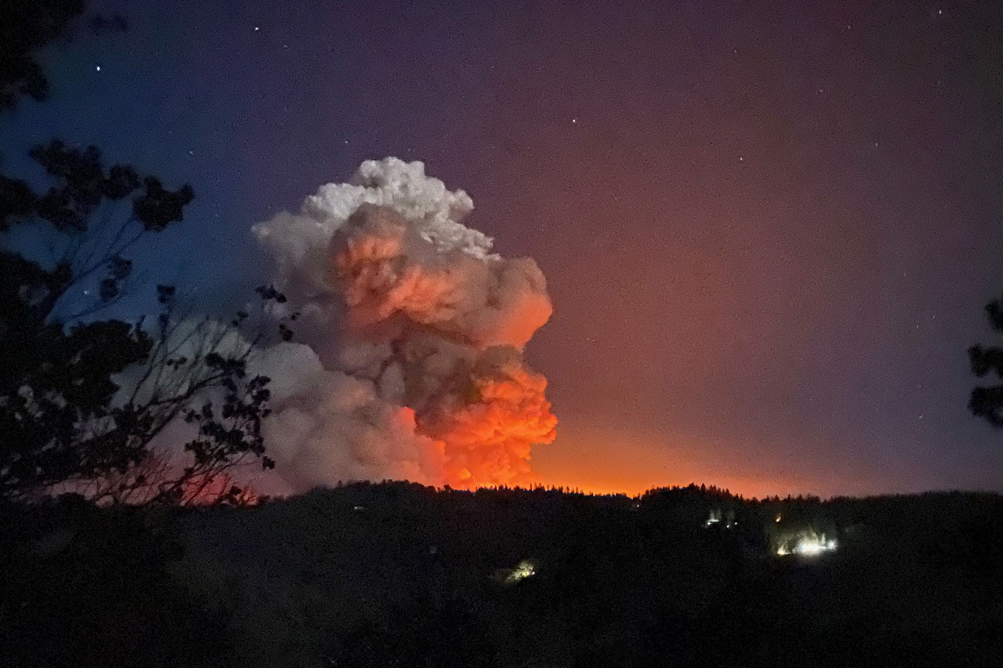
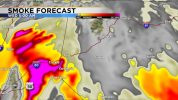
The CaldorFire wildfire near Pollock Pines (off of interstate US-50 in California) gain's momentum.


Aug 18, 2021

smoke_fcstloop.gif


Attachments

  • 1629266972789.png
    1629266972789.png
    221 KB · Views: 2
Last edited:
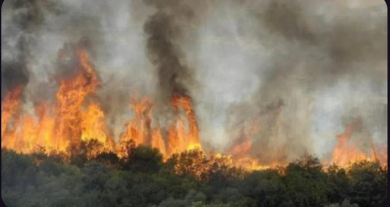
Just saw 1 video on telegram, found it on Odyssey, 2 different camera recording the same event. It happens in Kabylia (Algeria)
The comments are in french, but it's easy to figure out what is happening, and it's disgusting.
The summary of the french guy who is recording is that it's symetric, and it's hardly possible that it's done by someone on the ground, so he concludes that it's probably coming from the sky, which is what I would also conclude.
Here are the 2 clips :


😡
 
5:30 AM · Aug 19, 2021 Zeke Lunder@wildland_zko
#CaldorFire 8/18/2021 Update. Infrared mapping from 5pm flight today. Fire spread 13 miles east in past 24 hrs. Fire was 13 miles east of Placerville at 5pm. Winds forecast to blow hard toward west tonight. If you are living west of fire pay attention to conditions overnight.

BAKERSFIELD, Calif., (KBAK/KBFX) — UPDATE (9:22 PM):
Snip:
The French Fire has now eclipsed 2,000 acres burned, according to the Kern County Fire Department.
UPDATE (7:36 PM):

The French Fire burning just west of Lake Isabella has now burned more than 900 acres, according to the Kern County Fire Department.

The fire started around 5 p.m. and due to the high winds in the area, it has moved fast. The fire is now zero percent contained.

Evacuation orders remain in place for those in the Sawmill area/community.

Previous Updates below ------------------------------

UPDATE (6:22 PM):
According to Kern County Fire, evacuations orders have been put into effect for the Sawmill area/community due to the French Fire. Red Cross will set up an evacuation center at the Kern River Valley Senior Center, 6403 Lake Isabella Road, CA 93240.


18 Aug, 2021 22:02 / Updated 6 hours ago
Thousands are evacuating from Northern California as the Caldor Fire has charred nearly 50,000 acres and destroyed dozens of homes, and officials are warning of conditions creating a “perfect combination” for it to spread further.

“The Caldor Fire continued to experience unprecedented fire behavior and growth due to extremely dry fuels pushed by the south west winds,” California Department of Forestry and Fire Protection (Cal Fire) said of the El Dorado County blaze.

In their latest update on fighting the fire, fire officials said a “red flag warning” has been extended through tomorrow, according to the National Weather Service. “Red flag” warnings are issued “for weather events which may result in extreme fire behavior that will occur within 24 hours.”

Dry conditions and wind have created a “perfect combination” for the fire to spread, Chief Daniel Berlant told reporters on Wednesday.

A satellite video posted by the National Oceanic and Atmospheric Administration showed the quick growth of the fire.


Fire officials said the fire grew 47,200 acres in just 24 hours.

Gov. Gavin Newsom previously declared a state of emergency in El Dorado County in response to the growing flames. Evacuation orders for numerous areas like Grizzly Flat, Perry Creek and Hawk Haven have been issued as the fire has spread and destroyed property, including dozens of homes, an elementary school, a post office, and multiple other buildings, according to officials. At least two people have been injured, both having to be airlifted to hospitals.

Thousands have already been evacuated, according to a Wednesday update from state emergency services.

The fire began on Saturday, but the origins remain unknown.

Many have been taking to social media to post the destruction the fire has left in areas and the conditions in highly affected areas, such as Mormon Emigrant Trail.

The fire has led to the emergency closure of the El Dorado National Forest through the end of September.
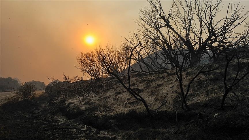

NASA Earth@NASAEarth
Aug 13
Fires in #Greece have consumed five times as much land as they do in an average year.
https://earthobservatory.nasa.gov/images/148682/
 
Back
Top Bottom