Very interesting articles, thanks Gary. Just saw this article on Electroverse, about the impact of the Grand Solar minumum in Spain:Two recent articles on the Mini Ice Age from Electroverse:
Today, the impacts of the Grand Solar Minimum are seen in Spain.
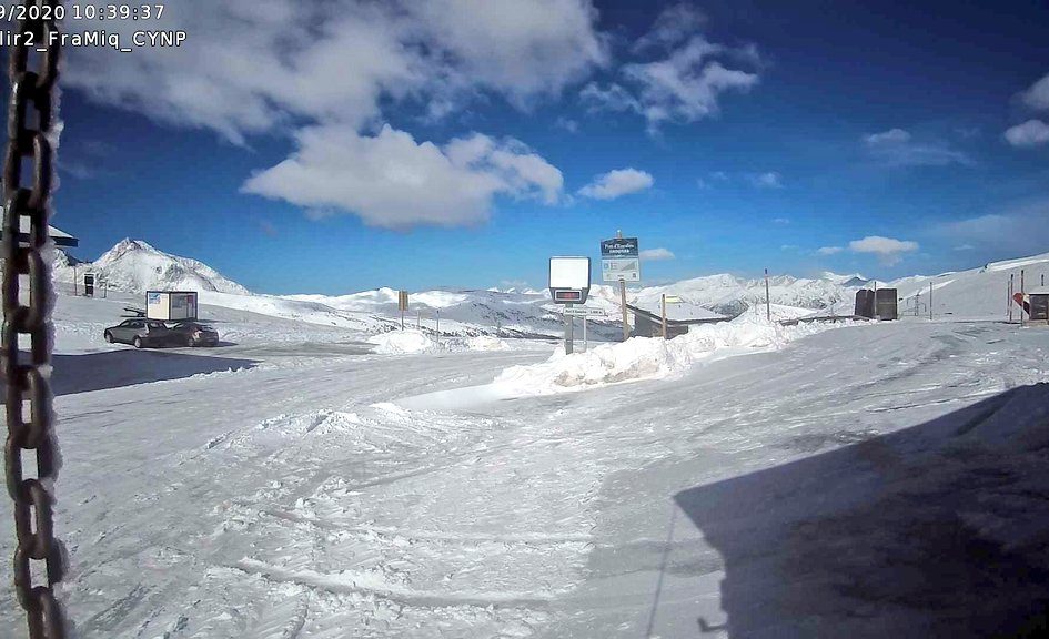
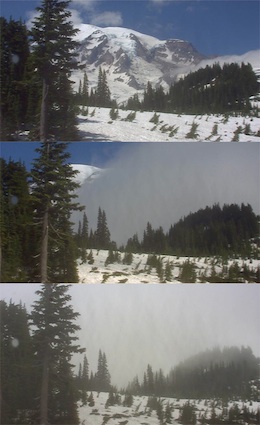
Across the higher elevations of the Iberian Peninsula as much as half a meter (1.64 ft) of snow has accumulated — totals that would be at home after a powerful winter storm, not least one in late-Sept/early-Oct. And along with the early snow, the Cogulla weather station, located in Cerler (which sits at an elevation of 2,300m), also registered a teeth-chattering low of -5.9C (21F).
At the higher elevations the snow will now not go away, warns the guard of the Góriz refuge Joan María Vendrell: it is here to stay for the season.
This is how glaciers build.
This is also how ice ages begin.
The COLD TIMES are returning, the mid-latitudes are REFREEZING, in line with historically low solar activity, cloud-nucleating Cosmic Rays, and a meridional jet stream flow.
Another "Winter" Snowstorm Blankets the Spanish Mountains - Electroverse
Of late, both hemispheres have been suffering out-of-season cold and snow as polar conditions have invaded the mid-latitudes.
 ). Halloween is weeks away, so will have to see if the weather become more entrenched or it eases off for a charitable late October and early November (there is more to do outside before the crunch of winter).