There have been verified
reports of arsonists being arrested. Yet the MSM and West Coast government officials are denying actual cases of arson and using the old Climate Change, Mother Earth is angry narrative. It's frustrating.
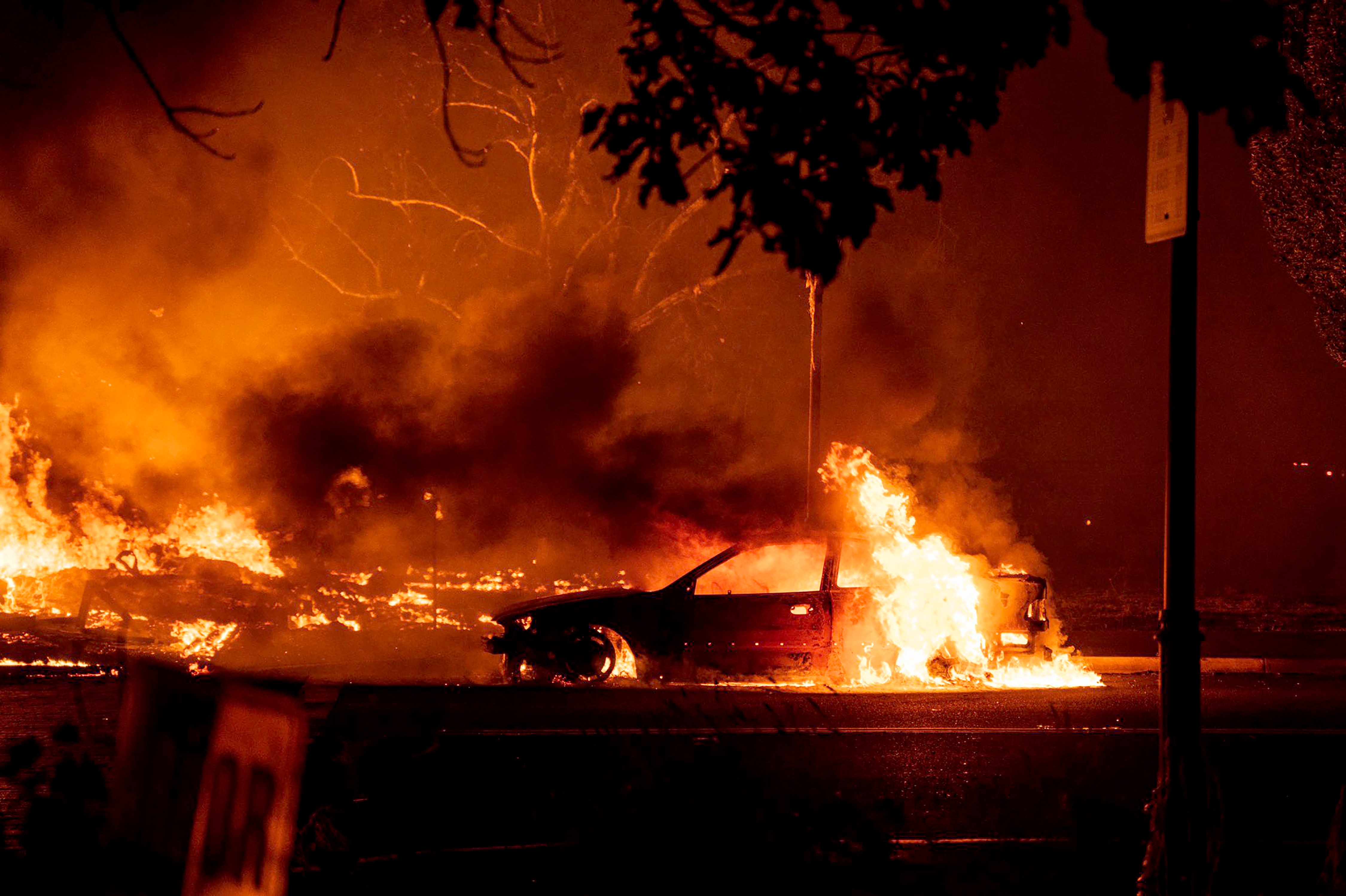
I've friends in California and have kept aware of things from their location; scary. Very sorry, NormaRegula and others who are close to the firestorm fronts - caught your photos and descriptions; keep vigilant.
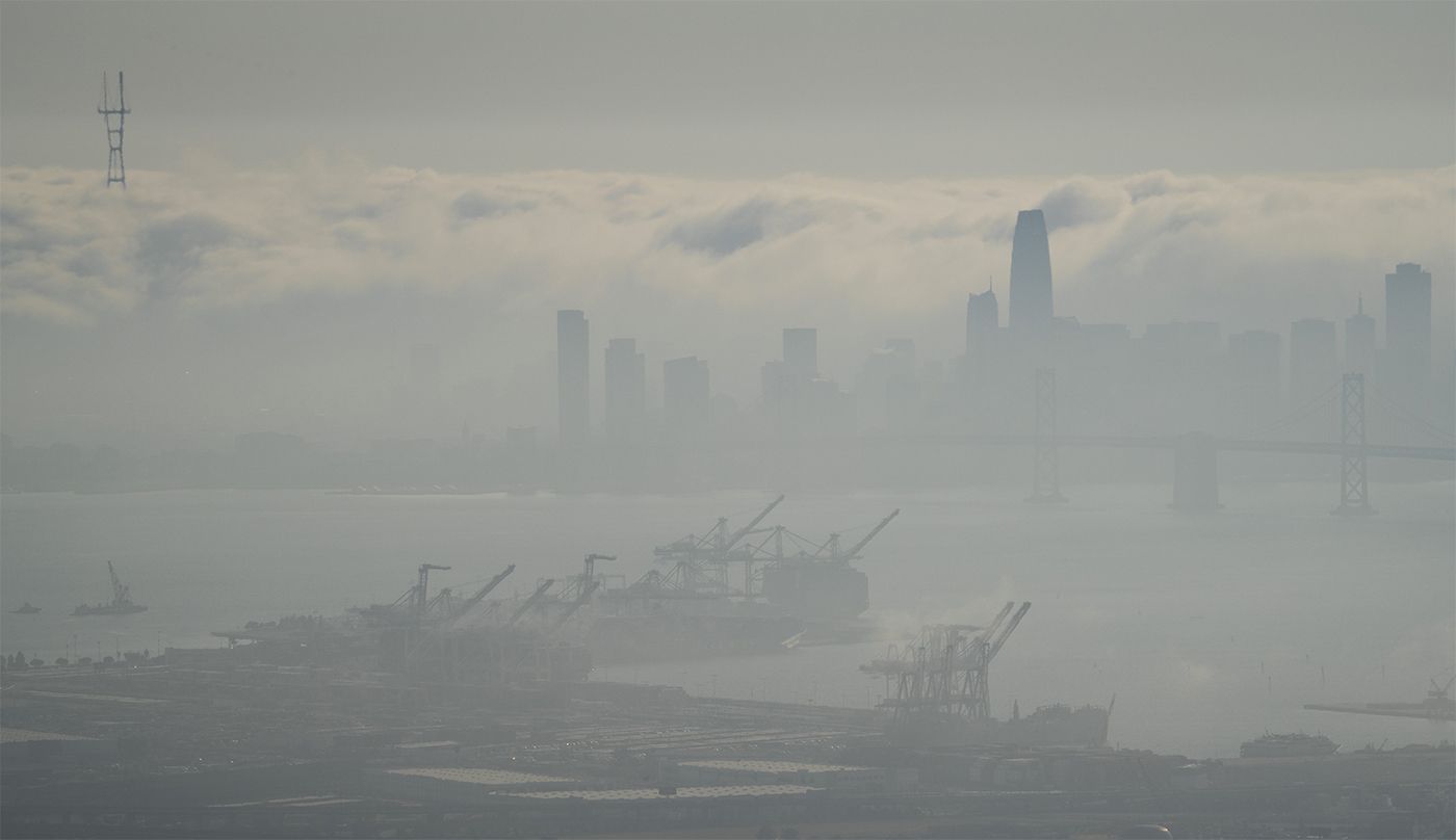
Up north in BC, above Idaho, the major fire here seems to be contained (around 8,000 ha.), however there are many more, and now a mass influx of smoke from Washington and Oregon has turned day to smoke haze - no sun visible, so that is a major shift in airflow, and it also hampers air support on existing fires. Here is the Western US/Canada smoke
forecast map. By the 16th of the month, smoke drift is projected to head east to Montreal, Quebec.
As for the discussion on ignition cause (arson et cetera) in Washington and Oregon (Cal too), forensics can usually pinpoint cause - lightning (these are mapped and responded to, so they will know, or should know), accidents will be well detailed, neglect (like those gender parties, kids with matches or leaving unattended camp fires etc) should be captured in data, and wilful ignition (arson) should be easily understood through forensics, so don't know if there are muzzles being applied on the press. If there is local talk of arson (which is being reported), it can be a good indicator that that is what happened - local people usually have good interconnected networks. Misinformation can be at play, too.
Not sure how arson plays into the fires here in NorCal. We definitely did have a pretty intense lightning storm with very little rain around Aug. 15th. The fires associated with this storm usually have the word "lightning" in their names. The August Complex also started at this time. A few in Oregon as well but I don't recall how widespread the lightning was.
As said, there will be detailed lightning strike maps, and (at least up here) they would assess their locations (and risk rate them) and then fly them and record observations - and follow up, or dispatch crews (if accessible) or helicopter rapid attack (called something different in the US). With all that dry late season grass and heavy fuel laden canopies, lightning ignition might be immediate or take a couple of days, yet the point being they should know if that was cause. Wind, as always, plays its hand, and that is the worst situation.
In a couple of the photos shown above of thick forested mountainous terrain that you had posted, cholas, could not help noticing the difficult steep terrain and the age class of the forest - whatever the history on that landscape is with historical fire, it looks like that fuel has built up for 80 - to 160 years? If so, that terrain has not seen fire since the 40's or late 1800's (the latter likely). This is the same thing in much of the landscape up into Canada, too, so it is not a good long term situation when things erupt.
There is a pretty good paper (at a glance)
here that discusses landscape level fire in Oregon, Washington and parts of California, and this photo example below (with text) outlines the situation in many areas (same up here in Canada). Note the 1925 and 2009 photos, wherein the former had landscape level natural fires often, until policy changes after 1925. So basically that 2009 photo has not seen fire since probably late 1800's (or some spot fires in between).
In this next photo (page 6 from
this document) from northern California, you can see ponderosa pine with young trees (mixed) in the background. Pine like this (thick bark) has a history of surviving fire (hardened shell), in fact they get fire hardened and thrive. This does not happen anymore just as the above photo discusses.
All these fires, and unfortunately they will continue in intensity based on current fuel loading and age class, is not about climate change per se (winds seem more intense, yet that may have been the same back in time), it is long standing polices and forest interfacing.
May you all keep safe and have an emergency plan.


