The last report from Electroverse summarising December so far:
 electroverse.co
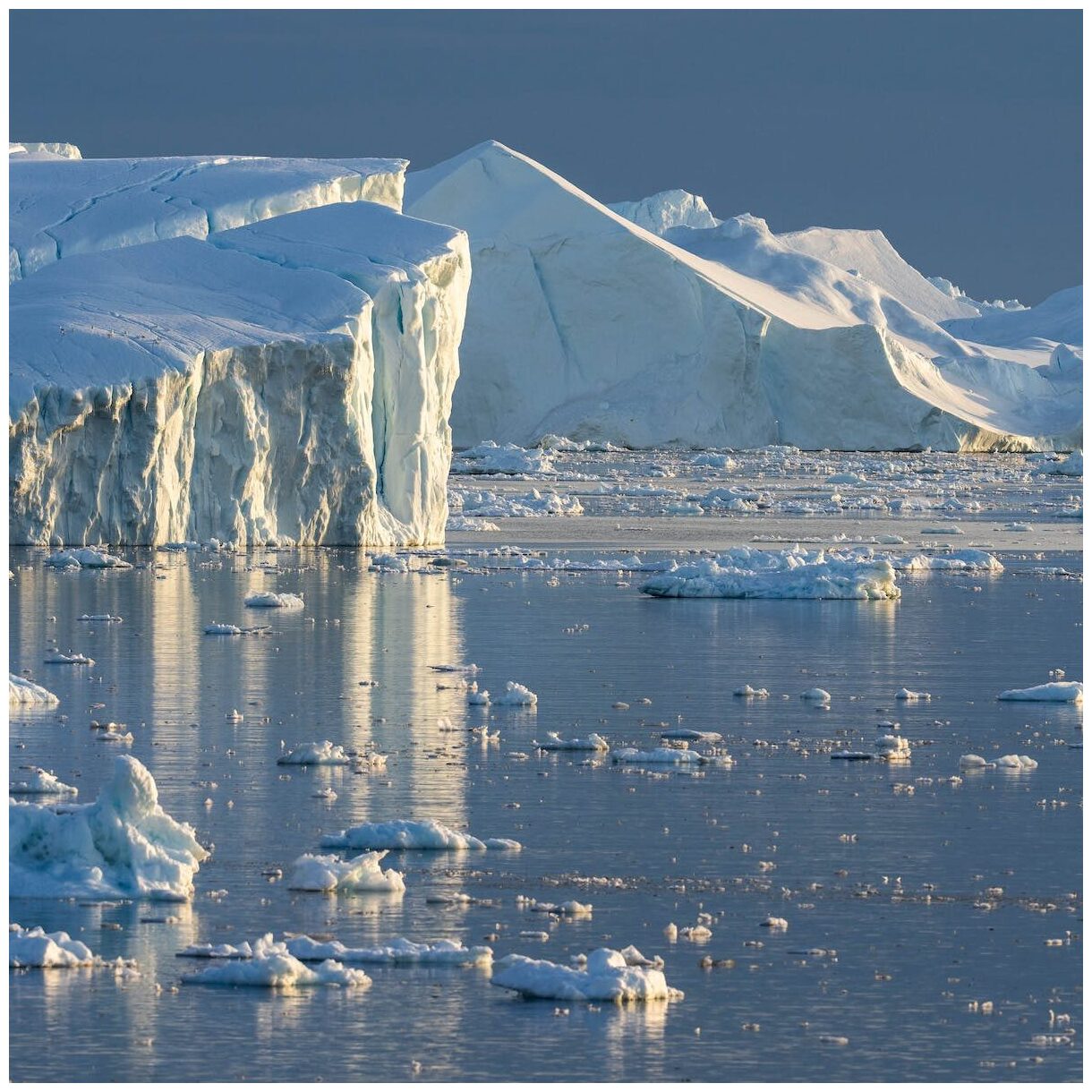
Russia Plunges To -61C (-77.8F); Record-Cold And Snow-Chaos Hit The UK, Sending Energy Prices To Unprecedented Highs; Sierra Slammed With Snow, More Threatens Central US; + Australia Busts 20+ Monthly Low Temperature Records - Electroverse
Long-lasting cold-records continue to fall across the planet. MSM: silent. Welcome to the next Grand Solar Minimum.

RUSSIA PLUNGES TO -61C (-77.8F); RECORD-COLD AND SNOW-CHAOS HIT THE UK, SENDING ENERGY PRICES TO UNPRECEDENTED HIGHS; SIERRA SLAMMED WITH SNOW, MORE THREATENS CENTRAL US; + AUSTRALIA BUSTS 20+ MONTHLY LOW TEMPERATURE RECORDS
DECEMBER 12, 2022 CAP ALLON
RUSSIA PLUNGES TO -61C (-77.8F)
It’s been historically cold across the majority of transcontinental Russia in recent weeks.
Most recently (Dec 12), Yakutian –the cold pole of Oymyakon– has seen the mercury sink to -61C (-77.8F) — the coldest temperature in the Northern Hemisphere this wintry season–and very early for such a reading.
In fact, and even more impressively, this is Oymyakon’s coldest December temperature since 1984 (solar minimum of cycle 21), and also the second lowest December temperature in ALL of Russia (also since 1984).
[courtesy of @ThierryGooseBC on Twitter]
It’s been historically cold in Northern China, too.
Last month, the coldest temperatures since the 1980s disrupted the seasonal migration of nomadic herders in northwest China’s Xinjiang region.
The inclement conditions trapped many herders and froze thousands of livestock to death as blizzards and temperatures as low as a record-smashing -48.6C (-55.5F) descended from the north.
The blast also froze at least seven Chinese construction workers at a project site in city of Altay.
Even the capital Beijing got in on the cold act, registering its lowest November temperature since 1970.
Looking ahead, the next 10 days are forecast to bring more of the same, perhaps even an intensification.
China will be hit by three cold waves with the the mercury across the nation on course to hold exceptionally low for an extended period of time. Northeast China will find itself in the center of the Arctic outbreak, with record-breaking temperatures of -50C (-58F) on the cards.
China, and indeed Russia, know what’s coming.
Their scientists have long-been warning about it…
RECORD-COLD AND SNOW-CHAOS HIT THE UK…
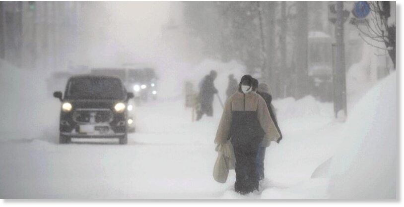
The UK has been enduring some truly anomalous early-season chills, with snow blanketing all four home nations.
The Scottish glens plunged below -15C (5F) over the past few mornings, which, in record books dating back to the 1800s, makes it the UK’s lowest temperatures for Dec 11 and 12 on record, besting the 14.7C from 1967 and the 15C from 1981, respectively.
Needless to say, the MSM is refusing to touch the historical nature of the freeze, instead opting to focus on aspects such the disruptive snow–which is also unseasonable, and the concerning energy implications–more on that later.
London, for example, rarely sees accumulating snow in December, let alone during the first half of the month, but this was the scene on Sunday evening across the capital:
Brits have been conditioned to expect ever-milder winters thanks to ‘catastrophic anthropogenic global warming’, they are woefully unprepared for what’s really barreling down the pike.
TV pop-scientists told them the planet was warming uncontrollably and that nothing, not even a decrease in the Sun’s output, could counter this.
The only course of action, the establishment decreed, was to drastically reduce ones living standards, via what amounts to a defunding of the fossil industry, in order to reduce CO2 output.
This is genius in its malevolence, but in its malevolence only. Because what it boils down to for the 99.9% is economic and prosperity suicide. Very few seem to acknowledge that. After all, when facing ‘the end of the world’ all measures are on the table, no matter how anti-human or outright evil: Energy restrictions, “of course”; climate lockdowns, “whatever works”; a social credit score system, “if you think it’s best”.
The masses have traded free-thought and autonomy for an easy life where everything is decided for them, and there’s only one way that was ever going to go, because power corrupts.
If you fell for this scam, shame on you. Your weak, lazy and fear-driven choices have doomed us all. This chimes with COVID, too. Your cowardice won’t be forgiven.
Snow was a thing of the past, right Britons?
The irony of these gaz-guzzling, Co2-spewing cars skidding about the ice isn’t lost:
The snow was much heavier in the north, as you might expect.
So heavy, in fact, that four walkers in the Scottish Mountains had to be rescued after they encountered “waist deep” snow.
The UK has not prepared its citizens for what’s coming…
…the lights (and heating) will go off, and soon; if not this year, then next–at least this is what the energy CEOs are warning us.
Cold kills 20x as many people than heat, according to a recent study published in The Lancet, with that figure shown to be 80x as per other research. While a 2020 study in the U.S. concluded that patients who died of the cold were responsible for 94% of all temperature-related deaths.
Prepare.
…SENDING ENERGY PRICES TO UNPRECEDENTED HIGHS
UK power prices jumped to record levels on Monday as freezing temperatures caused a surge in demand–just as a drop in wind generation compounds a supply crunch.
Live data from the National Grid showed that wind was providing just 3% of Britain’s electricity generation on Sunday, with gas-fired power stations providing 59%, and nuclear and imports accounting for about 15%.
The day-ahead price settled at a record £674.78 a megawatt-hour on the Epex Spot SE exchange with the price for 5-6 p.m. clearing at an all-time high of £2585.80 a megawatt-hour, as the Met Office extended weather warnings for snow and ice throughout the UK.
Prices are surging as an unseasonably-fierce Arctic outbreak forces Britons to increase their heating usage, pushing up demand for energy –despite record-high bills– and running down the country’s reserves far earlier than expected.
This is the story across Europe, too.
Authorities across the EU say they have enough gas in the tanks to stave off an ‘average’ winter, but this one is looking far from normal as the continent braces for its second disruptive polar blast in as many weeks:
GFS 2m Temperature Anomalies for Dec 13 [tropicaltidbits.com].
Note, for me in on the Iberian Peninsula, things continue to hold mild–albeit very wet and windy.
Myself and my young family are living off-grid in Central Portugal, growing our own food etc. We run all of our power needs off our 5000W solar setup, but do have a back-up generator in case of a failure. However, the generator itself failed over the weekend, and so I traveled to our closest city to replace it. But no luck. Apparently, a massive order was put in last week, destined for the Ukraine.
Very well, so be it, the Ukrainian’s no doubt need them more than me. But still, I can’t help but think this is another turning of the screw for the average citizen; more specifically, that faceless, unelected forces above our heads continue to negatively impact our ability to properly prepare for what’s coming.
I don’t know…
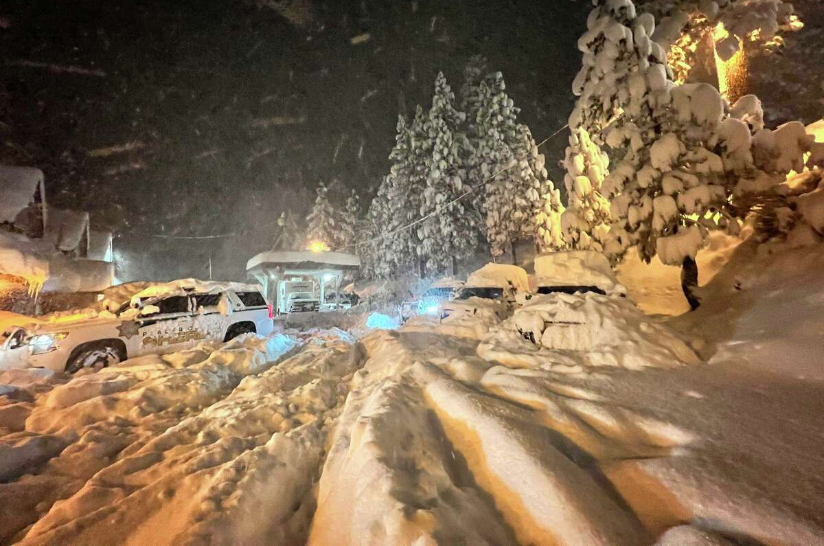
Roads remain closed and conditions dangerous as a winter storm that slammed the Sierra continued Sunday, with low temperatures and freeze watches extended into the new week, and another 2-feet of snow expected overnight Sunday alone.
SIERRA SLAMMED WITH SNOW…
An overnight low of 40F was forecast for San Francisco, with the mercury forecast to plunge lower Tuesday.
A freeze watch is in effect from late Monday through Tuesday morning in the North Bay valleys, encompassing Santa Rosa and the Napa Valley. Overnight it could sink to the mid-20s
The National Weather Service warned of “difficult to impossible” travel conditions throughout the Sierra, with whiteout conditions, major travel delays and chain controls and road closures likely.
The Placer County sheriff’s North Lake Tahoe station is buried in snow Saturday.
The Sierra snowstorm is now making its way to east, already dropping heavy snow to the north-Central U.S. and bringing severe storms to the South.
…MORE THREATENS CENTRAL US
The latest GFS run (shown below) reveals the snowiest spots, which currently look set to be eastern Montana, the Dakotas, northern Nebraska and Minnesota. The Northeast also won’t be spared, with another dumping of early-season snow set to follow the historic 6+ feet that clipped the likes of Buffalo last month.
GFS Total Snowfall (inches) Dec 12 – Dec 28 [tropicaltidbits.com].
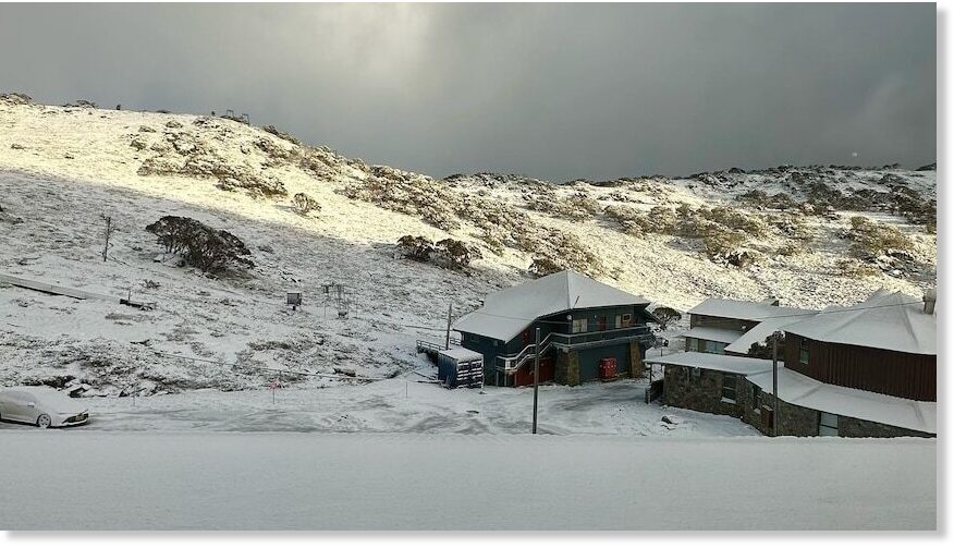
Australia’s most-recent cold spell, which follows a colder-than-average-winter, spring and the country’s lowest summer temperature ever recorded, produced at least 20 monthly low temperature records over a just a 2-day period.
AUSTRALIA BUSTS 20+ MONTHLY LOW TEMPERATURE RECORDS
Some the standouts included Dunedoo’s 1.2C (34.2F), Bairnsdale Airport’s 3C (37.4F) and Grenfell’s 3.5C (38.3F).
The Dunedoo value is particularly impressive, besting the previous December record (1965) by 2.6C.
Looking ahead, the south’s chill won’t abate anytime soon:
GFS 2m Temperature Anomalies (C) for Dec 13 [tropicaltidbits.com].
GFS 2m Temperature Anomalies (C) for Dec 15 [tropicaltidbits.com].
GFS 2m Temperature Anomalies (C) for Dec 25 [tropicaltidbits.com].
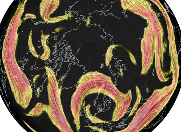
Much of the planet is holding unusually-cold.
Taking the Northern Hemisphere, polar air is being displaced and funneled south, with the Arctic itself now holding mild.
This is fully expected during –and explained by– extended periods of low solar activity (such as the historically low output we’re receiving now), but be on watch for MSM obfuscation: “Look, the Arctic is XX-degrees above average, think of the polar bears!” the activist-scientists will cry, as us humans at the lower latitudes struggle to heat our homes due an entirely avoidable energy crisis arriving simultaneously with a cyclically-returning bout of COOLING (…coincidence…).
And then next year, when the issue is ten-times worse and there’s no energy left to ration, what do these murderous puppets of the controlled-destructors suggest we do then? Move to an anomalously-mild Arctic? Or will it be the case that these traitors to humanity have already been tossed to us proles and lynched by then? Not a suggestion, by the way — just a question…


") .
.