Sudden Stratospheric Warming underway, mid/late January could see some serious winter weather across a large part of Europe
31 December 2018 By SWE | Long range / seasonal forecast, Mesoscale Discussion
Snip:
Two months ago, we talked about the polar vortex and its influence on the troposphere. Right now, the “Sudden Stratospheric Warming” – a large scale process – is underway and it might have important implications for the rest of the winter.
As it can be seen in the graphic the stratosphere over the Arctic region is undergoing a strong warming event. The mid-stratosphere temperature over the pole is more than 65 °C warmer than in a normally strong polar vortex situation. This helps to weaken the polar vortex and can even cause it to break down into two or more smaller vortices.
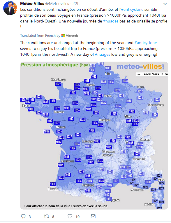
Translated from French by Microsoft
If the weather is quiet for this#NouvelAn2019, it was not the case 15 years ago with Du #froid and La #neige in plain on January 1, 2004. Small anthology of milestone events on January > > Meteo Paris - Le premier site météo pour Paris et l'île-de-France 1st
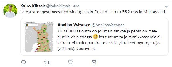
Translated from Finnish by Microsoft
The road weather is poor or very bad, the snow will increase during the near-day in the central part of the country still 10-15 cm#lumipyry #myrsky
Home > Webcams > Jackson Hole Valley > Togwotee Pass
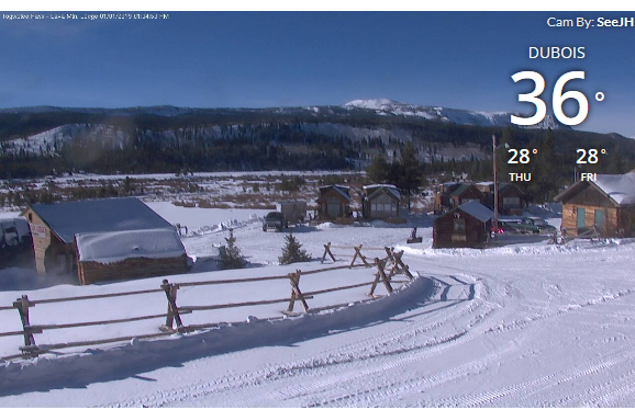
January 1, 2019
31 December 2018 By SWE | Long range / seasonal forecast, Mesoscale Discussion
Snip:
Two months ago, we talked about the polar vortex and its influence on the troposphere. Right now, the “Sudden Stratospheric Warming” – a large scale process – is underway and it might have important implications for the rest of the winter.
As it can be seen in the graphic the stratosphere over the Arctic region is undergoing a strong warming event. The mid-stratosphere temperature over the pole is more than 65 °C warmer than in a normally strong polar vortex situation. This helps to weaken the polar vortex and can even cause it to break down into two or more smaller vortices.
Translated from French by Microsoft
If the weather is quiet for this
https://twitter.com/meteorologit/status/1080111194080456705Translated from Finnish by Microsoft
The road weather is poor or very bad, the snow will increase during the near-day in the central part of the country still 10-15 cm
Home > Webcams > Jackson Hole Valley > Togwotee Pass
January 1, 2019
 effects of the stratospheric warming continue to occur in the
  #
# 
