Central Ohio local forecast temps range from highest, Thurs. Nov. 21 > 55/43 to lowest, Mon. Dec. 2 > 37/27Scientists Are Predicting Polar Vortex To Bring Big Freeze And Coldest Winter For Five Years : ( ”People Should Be Prepared For a Real Flagstaff Winter” )
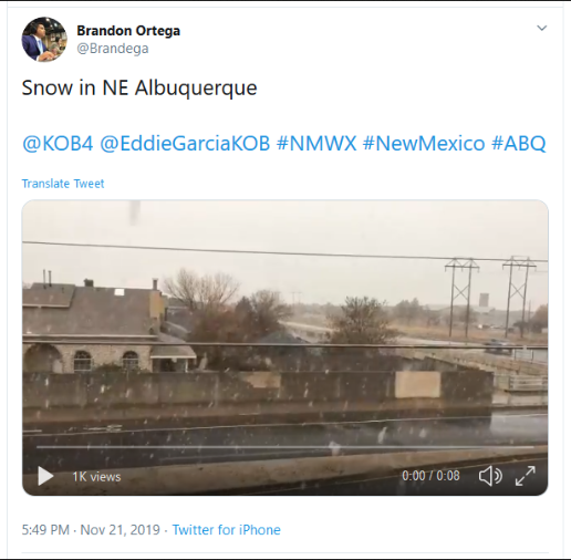
The polar vortex is headed toward the US, expected to bring record-breaking cold to the Northeast, upper Midwest, and Great Lakes by this week. It’s so cold that it could give people frostbite in just 5 minutes.
Each year, a pocket of frigid air — the polar vortex — forms over the Arctic, and it usually stays north of the US. But some of it has broken off and is traveling south where it will hit the hardest in Minnesota, Iowa, and Michigan, causing temperatures to plummet by as much as 40 degrees Fahrenheit below normal.
The National Weather Service tweeted that windchill will be the coldest since the mid-1990s for some regions.
Some regions are already starting to see record-breaking cold. International Falls, Minnesota hit -46 degrees Fahrenheit on Sunday, its fifth-lowest temperature on record. And the weather service in Des Moines, Iowa stated: “This is the coldest air many of us will have ever experienced.”
The worst of the storm is expected to hit from Tuesday through Thursday and is forecast to dwindle by Friday. So bundle up because “brutal cold is coming.”
[...]
Health officials have issued a desperate plea to the public, urging them to wrap up warm and turn to pharmacies at the first sign of illness, amid “enormous pressure” on casualty departments. Forecasts suggest could be facing the coldest winter for five years, with average minimum temperatures.
Research has also shown that people with conditions such as heart disease, lung problems including asthma, and dementia are much more likely to die in winter.
Daytime temps in the low to upper 40s on 11 of the next 15 days with 2 days in 50s. Gets into 30s starting on 12/2.


 I knew there are armchair sports coaches and political pundits, but who knew sailing was a spectator sport too? Thanks for the funny!